



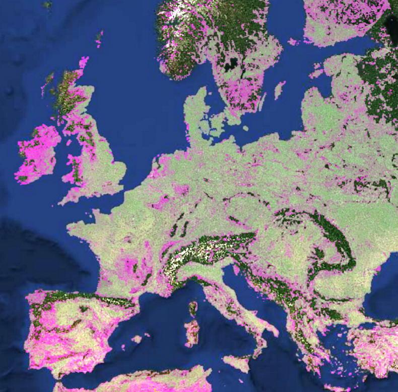
New research indicates there are approximately 1.6 billion cropland fields worldwide. The Fields of the World project, funded by Taylor Geospatial and co-developed with Microsoft AI for Good, mapped cropland field boundaries across 241 countries and territories at a 10m resolution using satellite imagery, AI and machine learning.
They claim that this is the first global agricultural field boundary dataset at this level of resolution. The analysis was conducted over two years, with 1.63 billion fields mapped in 2024 before the total figure fell to 1.58 billion fields in 2025.
With the Food and Agriculture Organisation of the United Nations (FAO) reporting a total of 1.6 billion hectares of cropland in the world in 2023, these figures would leave the average global cropland field size at about one hectare.
Grazing pastures, fallow, orchard, vineyards, forestry and any other non-annual crop fields were excluded from this research but recently reseeded fields or those being used exclusively for silage are counted.
The researchers are keen to note that this is not a perfect representation of every single agricultural field. Some regions of the world had very little field boundary data to improve this work and a high level of cloud cover in other areas reduced the amount of satellite imagery that could be used. A large number of very small plots are included too, given that the model counts any area of cropland greater than 10m² as a field.
The algorithms and models being used are still being improved and the plan is to refine these figures as the project progresses.
The researchers are hoping that this dataset of field boundaries can be a vital asset for precision agriculture, land use monitoring, food security assessment and worldwide crop analysis.
The dataset can be freely viewed and downloaded here.




SHARING OPTIONS