



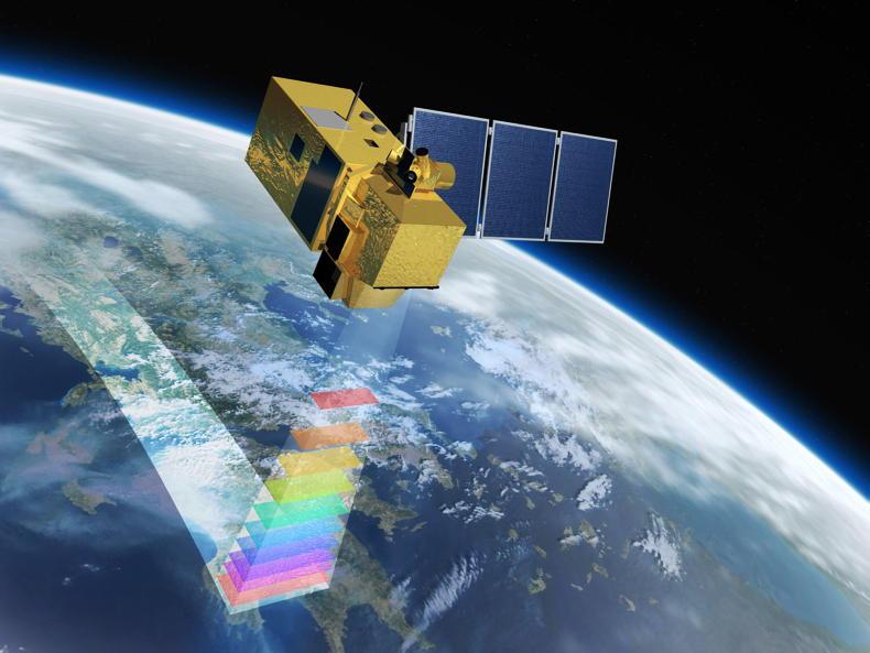
The EU now has the ability to track individual crop conditions and their development via satellite.
The European Commission’s Joint Research Centre releases a monitoring agricultural resources (MARS) report each month, which provides yield forecasts and information of crop and weather conditions across Europe.
Up until now, satellite-based crop monitoring could only inform the EU of how vegetation was growing and progressing as a whole.
Now, thanks to the JRC AGRI4CAST project, the EU can track 13 different crops with Sentinel-2 satellite imagery and has access to near-real-time data on how each crop type is developing across the continent throughout the growing season.
Therefore, rather than relying on how vegetation over the whole landscape is developing, these MARS reports will be able to provide a more accurate picture of how individual crops such as wheat, maize and sunflowers are doing in Europe.
It does not track individual fields, but rather how a particular crop is doing across the whole landscape. It is hoped that this will help to detect crop risks earlier and provide more time for both farmers and policymakers to prepare.
Maize
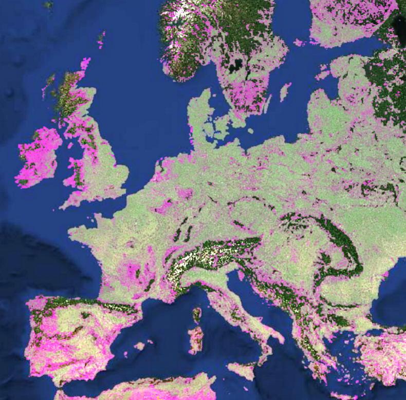
The first report using this technology focused on maize. The new crop-specific monitoring system shows the biomass accumulated by maize crops at a 10km2 resolution.
It highlights the impact that the dry summer had on maize biomass accumulation across Europe, with most crops showing reduced levels of biomass, with western Romania being one of the only areas to show more biomass than usual.


SHARING OPTIONS